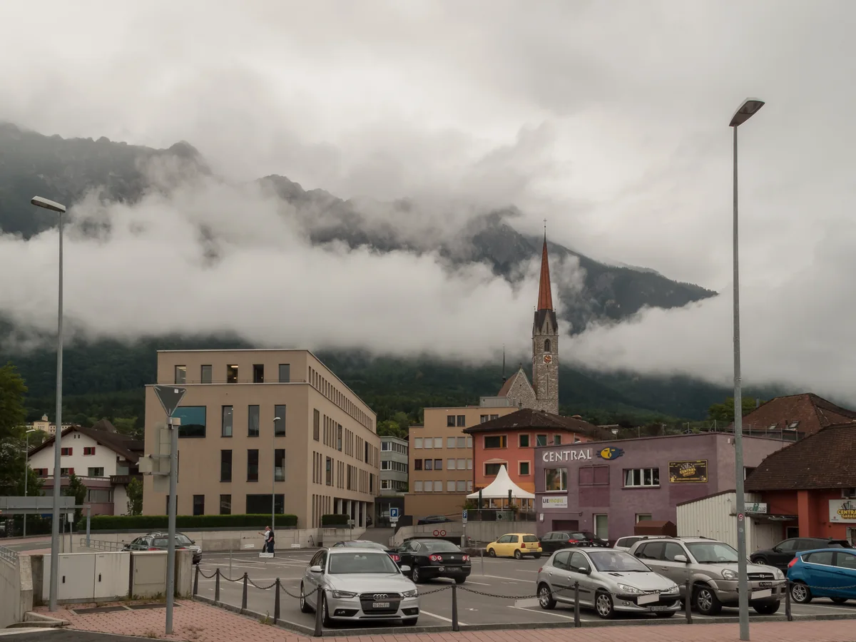
The Rhine Valley, the Drei Schwestern and Liechtenstein's Natural Setting
Liechtenstein's landscape is defined by the Rhine valley floor, where the capital and main settlements lie, and the Alpine slopes of the Rätikon range that rise immediately behind the valley to peaks above 2,000 metres. The Drei Schwestern (Three Sisters) ridge above Schaan and Vaduz, accessible by a half-day walk from the valley floor, provides the most rewarding panoramic view in the principality: north across the Rhine plain to Lake Constance, east into Austria, and south toward the Swiss Alps. The Malbun resort at 1,600 metres, the principality's only ski area, operates from December to April with a modest but functional ski infrastructure in a bowl surrounded by peaks that provides a quiet alternative to the larger Swiss and Austrian resorts accessible within an hour. The Liechtenstein Trail, a long-distance walking route of 75 kilometres traversing the entire country from north to south in stages of three to six hours, is the most complete way to experience the country's geography, its farming villages, and the transition from Rhine valley floor through forest to Alpine meadow. The Eschner Riet wetland reserve at the northern border provides habitat for reed buntings, lapwings, and other wetland species in a landscape otherwise dominated by intensive agriculture and industrial uses.